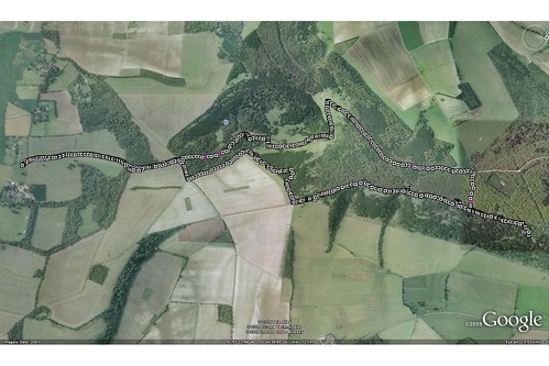
We also made use of the GPS again. Firstly to log our path ...

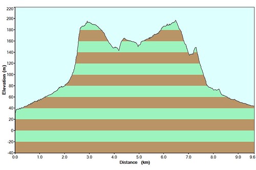
But also to track the hike's (steep-in-places) terrain ...

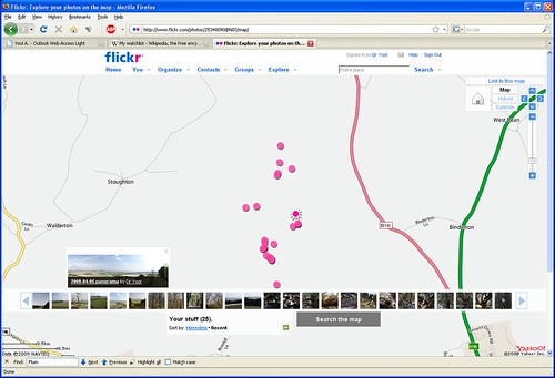
And plot up the locations of the resulting "Kodak moments" ...

I also took the time to try out some panorama-making software that I'd acquired from APM. After a number of attempts, which involved fruitless hand-edits and removing seemingly irrelevant frames, I finally got this to create a quasi-sensible result ...

Anyway, the full set of pictures is available over at Flickr.


No comments:
Post a Comment